Unravel the mysteries of ancient maps and lost civilizations in Graham Hancock’s “Fingerprints of...
Unveiling the Secrets of Lost Civilizations: A Journey into Graham Hancock's "Fingerprints of the Gods"
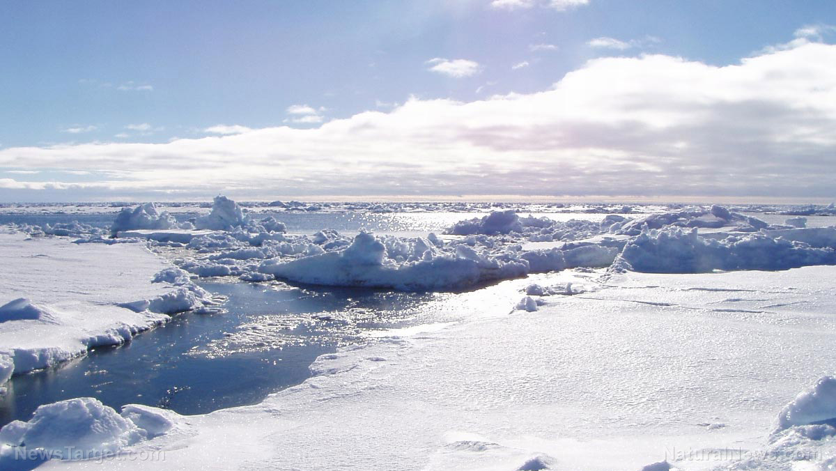
The Enigma of the Piri Reis Map
Imagine a map, drawn in 1513, that accurately depicts the coastline of Antarctica – a continent officially "discovered" centuries later in 1818. This is the baffling reality of the Piri Reis Map, a document that throws conventional historical timelines into disarray. Rediscovered in 1929, this gazelle-skin map not only portrays Antarctica, but seemingly shows it without its massive ice sheet, a state geologists believe existed thousands of years ago. How did a 16th-century admiral possess such knowledge?
Piri Reis himself attributed his map to older source material, some potentially dating back to the fourth century BC. This raises the tantalizing possibility of an ancient civilization, possessing advanced cartographic skills and a knowledge of Antarctica's ice-free past. This theory aligns with recent geological evidence, showing parts of Antarctica were ice-free as recently as 6,000 years ago.
More Than One Map: A Chorus of Cartographic Anomalies
The Piri Reis Map is not alone. Other historical maps, crafted by cartographers like Oronteus Finaeus, Gerardus Mercator, and Philippe Buache, depict Antarctica with startling accuracy. Finaeus's map showcases ice-free coasts, mountains, and rivers, suggesting the possibility of ancient exploration or settlement. Even more intriguing, Buache's map illustrates a waterway across Antarctica, aligning with modern seismic surveys and potentially dating back to a time when the continent was entirely ice-free, around 13,000 BC.
A Pre-Historic Puzzle: Challenging Conventional History
These maps collectively hint at a civilization predating established ancient cultures like Egypt and Mesopotamia. Professor Charles Hapgood championed the idea that these maps could only be the product of an advanced, pre-historic civilization. Hancock takes this theory further, weaving it with the myths of civilizing heroes like Viracocha and Quetzalcoatl, suggesting a shared, forgotten past connecting disparate cultures across the globe.
The Implications: A Re-Evaluation of Human History
The existence of these maps compels us to re-evaluate what we think we know about our past. Do they represent evidence of a forgotten chapter in human history, a time of advanced knowledge lost to the sands of time? While skeptics remain, the convergence of geological discoveries, ancient myths, and the precision of these maps presents a compelling argument for their authenticity.
As Graham Hancock writes in "Fingerprints of the Gods", "...we are a species with amnesia." He challenges readers to remain open to the possibility that our history is far richer and more enigmatic than we have been led to believe.